MAKE A MEME
View Large Image

| View Original: | Kossinna_map.jpg (563x369) | |||
| Download: | Original | Medium | Small | Thumb |
| Courtesy of: | commons.wikimedia.org | More Like This | ||
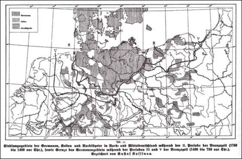
| Keywords: Kossinna map.jpg de Siedlungsgebiete der Germanen Kelten und Nordillyrier in Nord- und Mitteldeutschland während der II Periode der Bronzezeit 1750 bis 1400 vor Chr sowie Grenze der Germanengebiete während der Perioden III und V der Bronzezeit 1400 bis 750 vor Chr http //www ucm es/info/arqueoweb/numero11/gotz htm Gustaf Kossinna 1858-1931 1926-27 PD-Old Gustaf Kossinna Maps of European Bronze and Iron Age | ||||