MAKE A MEME
View Large Image
| View Original: | Karte Deutsch-Ostafrika.PNG (243x302) | |||
| Download: | Original | Medium | Small | Thumb |
| Courtesy of: | commons.wikimedia.org | More Like This | ||
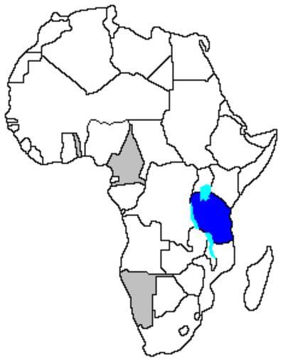
| Keywords: Karte Deutsch-Ostafrika.PNG de Exa Location of German East Africa blue showing contemporary borders Other German colonies in grey From the German Wikipedia de Bild Karte Deutsch-Ostafrika PNG Maps of the German East Africa | ||||