MAKE A MEME
View Large Image
| View Original: | Karantania map.png (1006x1030) | |||
| Download: | Original | Medium | Small | Thumb |
| Courtesy of: | commons.wikimedia.org | More Like This | ||
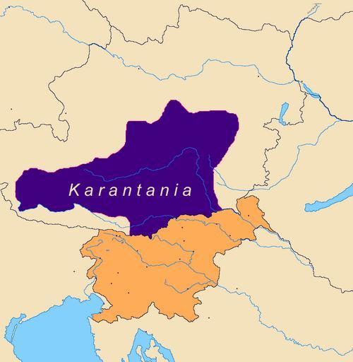
| Keywords: Karantania map.png There is no way the border of a 9th century political entity would match the border of a late 20th century one More accurate map based on verifiable sources is here; see also talk page Map of Karantania Originally created by sl User IP 213 edited by Matijap and xJaM August 2006 The original image is in public domain as well as it is stated in sl Slika Karantanija 828 png Maps of Carantania Maps of the history of Austria | ||||