MAKE A MEME
View Large Image

| View Original: | Jaillot_map_of_Paris_1762_-_Gallica.jpg (7301x4971) | |||
| Download: | Original | Medium | Small | Thumb |
| Courtesy of: | commons.wikimedia.org | More Like This | ||
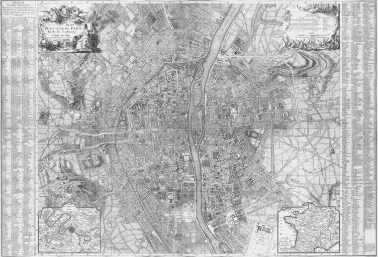
| Keywords: Jaillot map of Paris 1762 - Gallica.jpg en Map of Paris in 1762 by B Jaillot ca 140 x 97 cm; 130 pixels per inch The two parts of the Gallica original have been joined together; some adjustments were made to improve the alignment of the two halves; and the images were cropped ark /12148/btv1b7711275k/f1 B Jaillot cartographer 1762 ;Other versions These are thumbnail versions of the left and right halves with a resolution of about 16 pixels per inch thumb upright thumb upright PD-old-100 Maps of Paris in the 18th century 1762 Paris in the 1760s 18th-century maps of Paris | ||||