MAKE A MEME
View Large Image

| View Original: | Interstate 474 map.svg (2x1) | |||
| Download: | Original | Medium | Small | Thumb |
| Courtesy of: | commons.wikimedia.org | More Like This | ||
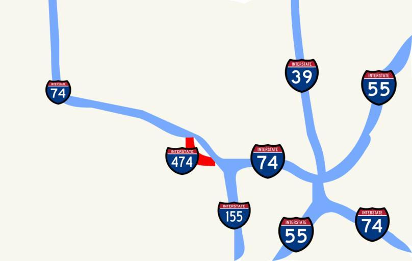
| Keywords: Interstate 474 map.svg File I-474 IL map closeup labeled svg Map of I-474 in Peoria Illinois own 2007-01-12 Vishwin60 Public domain or other licenses boilerplate id pd style width 95 ; margin 0 auto; text-align justify; background F1F1DE; padding 0 10px; border 1px solid CC9; left 50px I Vishwin60 the creator of this image hereby release it into the public domain If that cannot be done for any reason including the nonexistence of a way to release a work into the public domain I release it or my changes in the case of a derivative work under the following licenses FAL Copyrighted free use CC-SA-1 0 Maps of Illinois Maps of Peoria County Illinois Interstate 474 | ||||