MAKE A MEME
View Large Image

| View Original: | Grauerort_Plan.png (1376x1668) | |||
| Download: | Original | Medium | Small | Thumb |
| Courtesy of: | commons.wikimedia.org | More Like This | ||
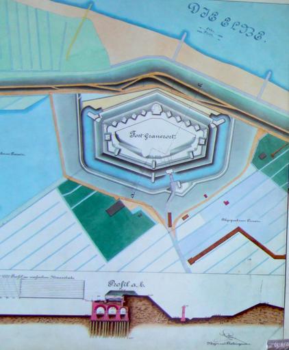
| Keywords: Grauerort Plan.png en Grauerort fortress construction plan with vertical profile at the bottom River Elbe is at the top of the map own Morn the Gorn 2010-05-16 PD-Old Festung Grauerort Drawings of buildings in Germany Taken with Canon EOS 50D Maps of Stade | ||||