MAKE A MEME
View Large Image

| View Original: | Goulston Street.jpg (1863x1269) | |||
| Download: | Original | Medium | Small | Thumb |
| Courtesy of: | commons.wikimedia.org | More Like This | ||
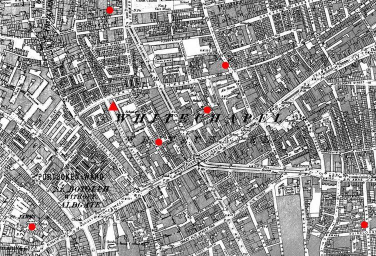
| Keywords: Goulston Street.jpg en 1894 ordnance survey map of Whitechapel annotated with the locations of 6 murders and one clue Red circles indicate sites where murdered women were discovered The red triangle indicates the position of the Goulston Street graffito where a piece of one of the victims' clothing was discovered Original map downloaded from http //www casebook org/official_documents/map/images/ord_map_full jpg Ordnance Survey modified by uploader 1894 amended 2009 OldOS cropped from File Whitechapel murders jpg Goulston Street graffito Jack the Ripper Ordnance Survey 2nd edition | ||||