MAKE A MEME
View Large Image

| View Original: | Gfp-wisconsin-glacial-drumlin-state-trail-rock-river-floods.jpg (3344x2182) | |||
| Download: | Original | Medium | Small | Thumb |
| Courtesy of: | commons.wikimedia.org | More Like This | ||
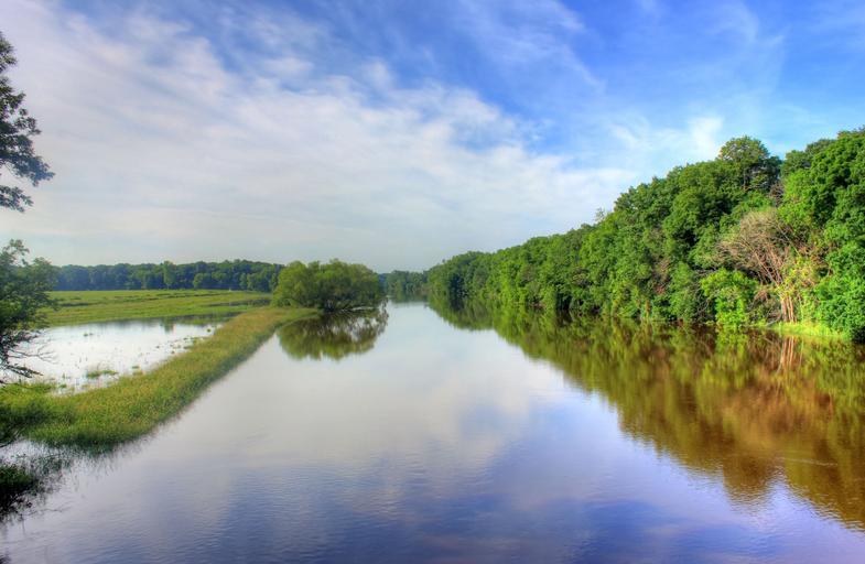
| Keywords: Gfp-wisconsin-glacial-drumlin-state-trail-rock-river-floods.jpg The Glacial Drumlin Trail is a hiking/biking/snowmobile trail that runs from Cottage Grove in the west to Waukesha in the East The last 13 or so miles from Dou The Rock river and a little flood zone on the side of the Rock River 2014-06-24 http //www goodfreephotos com www goodfreephotos com http //www goodfreephotos com/places/wisconsin/glacial-drumlin-state-trail/ gallery http //www goodfreephotos com/places/wisconsin/glacial-drumlin-state-trail/wisconsin-glacial-drumlin-state-trail-rock-river-floods jpg php image http //www goodfreephotos com Yinan Chen cc-pd Check categories 2014 June 29 Images from goodfreephotos com Import by User Slick-o-bot/Images from goodfreephotos com/Wisconsin Wisconsin | ||||