MAKE A MEME
View Large Image
| View Original: | Fuerstbistum_Speyer_Heris_1735.jpg (512x453) | |||
| Download: | Original | Medium | Small | Thumb |
| Courtesy of: | commons.wikimedia.org | More Like This | ||
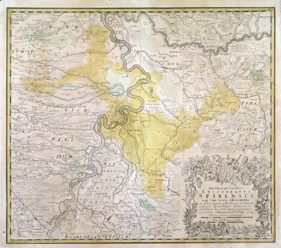
| Keywords: Fuerstbistum Speyer Heris 1735.jpg Karte des Fürstbistums Speyer Homann Heirs 1735 2008-02-06 Saarlandbilder net 23 28 6 Feb 2008 CET PD-old Original upload log de wikipedia Ireas CommonsHelper page de wikipedia Fuerstbistum_Speyer_Heris_1735 jpg 2008-02-06 22 28 Saarlandbilder net 512×453× 100850 bytes <nowiki> Andere Versionen </nowiki> Maps of territories in the Upper Rhenish Circle Speyer Maps showing 17th-century history Speyer in the 17th century Maps by Homannsche Erben | ||||