MAKE A MEME
View Large Image

| View Original: | Försök til en magnetisk inclinations charta - Kungliga Biblioteket - 10344951.tif (8088x5568) | |||
| Download: | Original | Medium | Small | Thumb |
| Courtesy of: | commons.wikimedia.org | More Like This | ||
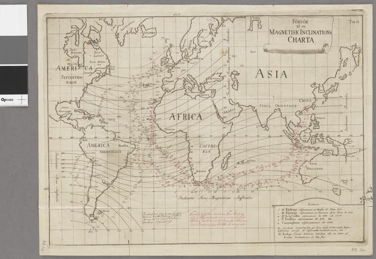
| Keywords: Försök til en magnetisk inclinations charta - Kungliga Biblioteket - 10344951.tif Världskarta som visar den magnetiska inklinationen på olika platser i havet - Teckenförklaring Johan Carl Wilcke 1732-1796; creator Kungliga biblioteket image 10344951 https //data kb se/datasets/2014/06/kartor/10346689_AB1a_Wilcke_Inclinat_10921C tif Per the https //data kb se/datasets/2014/06/kartor/ source the digitisations are under CC-0 map date 70000000 1 karta sv unknown Sverige Sweden print date 1768 institution National Library of Sweden accession number 10344951 plåt 33 x 45 cm kopparstick Enligt 2 uppl Av Carl Johan Wilcke I övre högra hörnet Tab VI S Ex A-B Accnr 1924 / 59 S Ex A-B Riksb Dahlgren S Ex B Med handritade tillägg på kartan från observationer gjorda åren 1770 och 1771 Scale is approximate other versions Old maps of the world Maps digitised by the National Library of Sweden Content made available through Wikimedia Sverige partnerships Magnetism | ||||