MAKE A MEME
View Large Image
| View Original: | Emporia Micropolitan Area.png (567x308) | |||
| Download: | Original | Medium | Small | Thumb |
| Courtesy of: | commons.wikimedia.org | More Like This | ||
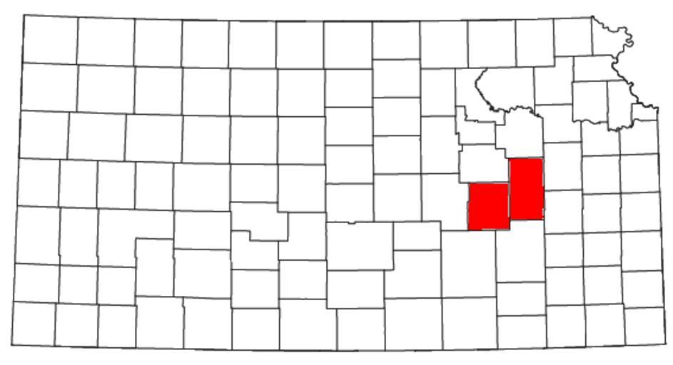
| Keywords: Emporia Micropolitan Area.png Locator map of the Emporia micropolitan area Hannibal Micropolitan Statistical Area in the east central part of the U S state of Kansas Modified from http //www2 census gov/geo/maps/general_ref/cousub_outline/cen2k_pgsz/ks_cosub pdf this United States Census Bureau file based on http //www census gov/population/www/estimates/metro_general/2006/List5 txt this Census definitions list 2008-07-26 User Nyttend US Government work is public domain and my work is Maps of census statistical areas in Kansas Maps of Chase County Kansas Maps of Lyon County Kansas Maps by User Nyttend | ||||