MAKE A MEME
View Large Image
| View Original: | Danish-counties-1662-1793.png (400x466) | |||
| Download: | Original | Medium | Small | Thumb |
| Courtesy of: | commons.wikimedia.org | More Like This | ||
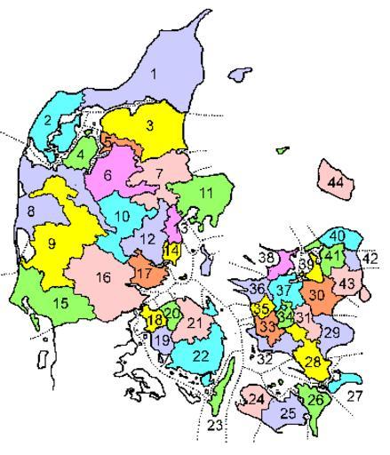
| Keywords: Danish-counties-1662-1793.png Description This a map showing Danish counties as they were during the period 1662-1793 Caption The names of the counties are listed at da Danmarks amter 1662-1793 Author The map was drawn by Lars Helbo Maps of Denmark | ||||