MAKE A MEME
View Large Image
| View Original: | CentralAmerica1860Map.jpg (666x717) | |||
| Download: | Original | Medium | Small | Thumb |
| Courtesy of: | commons.wikimedia.org | More Like This | ||
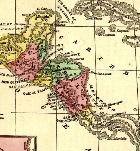
| Keywords: CentralAmerica1860Map.jpg Mapa de Centroamérica 1860 Map of Central America printed in USA 1860 PD-old Old maps of Central America | ||||