MAKE A MEME
View Large Image
| View Original: | Cayos_Caña_Gorda.png (752x453) | |||
| Download: | Original | Medium | Small | Thumb |
| Courtesy of: | commons.wikimedia.org | More Like This | ||
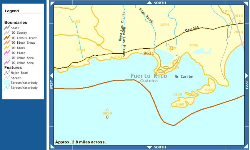
| Keywords: Cayos Caña Gorda.png map of the U S Bureau of the Census http //factfinder census gov/servlet/DTTable _bm y -context dt -ds_name DEC_2000_SF1_U -CONTEXT dt -mt_name DEC_2000_SF1_U_P001 -tree_id 4001 -transpose N -redoLog true -all_geo_types N -_caller geoselect -currentselections DEC_2000_SF1_U_P001 -geo_id 100 10000US720559611001069 -search_results 06000US7205514032 -format -_lang en -show_geoid Y PD-USGov Maps of Puerto Rico | ||||