MAKE A MEME
View Large Image

| View Original: | CartaMarina.png (13978x10394) | |||
| Download: | Original | Medium | Small | Thumb |
| Courtesy of: | commons.wikimedia.org | More Like This | ||
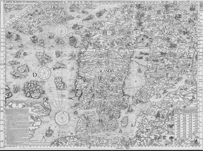
| Keywords: CartaMarina.png en The Carta marina Latin map of the sea or sea map drawn by Olaus Magnus in 1527-39 is the earliest map of the Nordic countries that gives details and place name 1527 http //cipher uiah fi/forum/materials/carta_marina lang en Olaus Magnus other versions PD-old-100-1923 Uploaded with UploadWizard 1527 maps Carta marina | ||||