MAKE A MEME
View Large Image
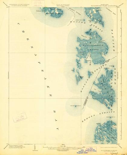
| View Original: | Bloodsworth Island Maryland USGS 1903 1927.jpg (2430x2970) | |||
| Download: | Original | Medium | Small | Thumb |
| Courtesy of: | commons.wikimedia.org | More Like This | ||
| Keywords: Bloodsworth Island Maryland USGS 1903 1927.jpg en Bloodsworth Island Quadrangle Historical topographic map 1 62500 scale Edition of 1903 reprinted 1927 1903-01-01 Department of the Interior United States Geological Survey other versions PD-USGov Old maps of Maryland | ||||