MAKE A MEME
View Large Image

| View Original: | BlankMap-FlatWorld6.svg (2754x1396) | |||
| Download: | Original | Medium | Small | Thumb |
| Courtesy of: | commons.wikimedia.org | More Like This | ||
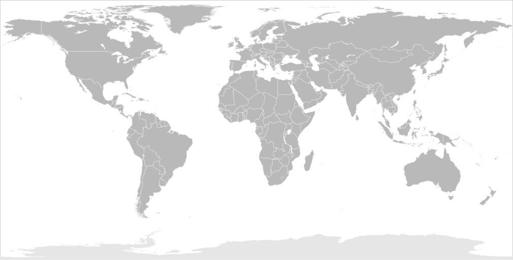
| Keywords: BlankMap-FlatWorld6.svg Map of the world in modified flattened Robinson projection This image is a sample of output from http //gsl-nagoya-u net/appendix/software/worldmap/ nugsl-worldmap a Python script for the manipulation of this map The script can also produce rotated images add pinpoint marks at particular geographic coordinates and produce web pages with clickable areas for specific countries and pinpoint marks Note that this map is not equirectangular and cannot be used as a push-pin map to identify coordinates assuming equal latitude and longitude spacing A map using the equirectangular projection is available at File BlankMap-World6-Equirectangular svg http //gsl-nagoya-u net/appendix/software/worldmap/<br />Refactored from Image BlankMap-World6 svg q v 2007-12-19 for the script only Frank Bennett The map data manipulated by the script is in the public domain The raw output of the script including the file shown here is also in the public domain Angleterre bilan svg Globale Präsenz von Brose png Map of Star Academy countries svg Queix1 svg Regional powers of the World svg Regional powers svg Russia European part location map png SAFF membres svg UTC offset map rygcbm world flat6 svg Gm accpept map svg Most popular language version of Wikipedia by country 2013 Q4 ALL svg Blank SVG maps of the world Maps with cylindrical projection | ||||