MAKE A MEME
View Large Image

| View Original: | Belgien1844.png (1455x878) | |||
| Download: | Original | Medium | Small | Thumb |
| Courtesy of: | commons.wikimedia.org | More Like This | ||
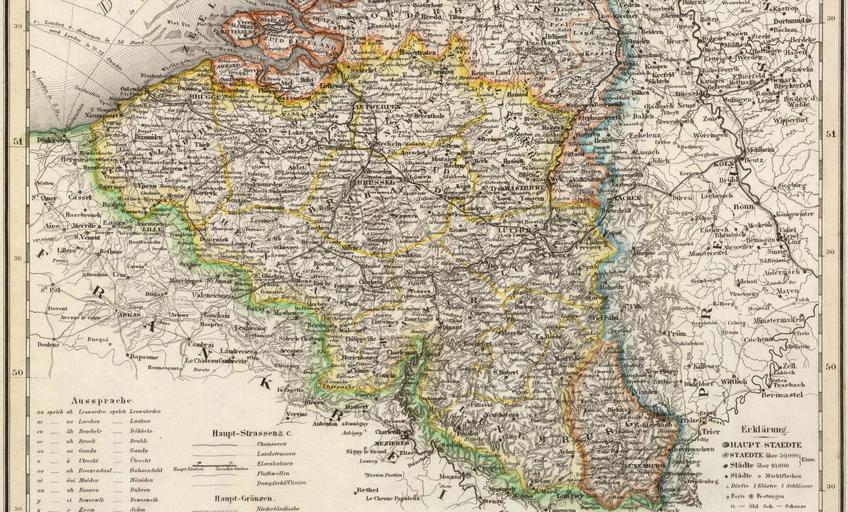
| Keywords: Belgien1844.png en Belgium 1844 cut of a map of Meyers Handatlas 1860 de Meyers Handatlas 1860 Belgien Holland und Luxemburg 1844<br/>Ausführliches Impressum Neueste-Karte-von-Holland -Belgien- Belgien Holland und Luxemburg 1844 Entworfen und gezeichnet v Hauptm Radefeld Aus der Geograph Graviranstalt des Bibliographischen Instituts zu Hildburghsn Amsterdam Paris u Philadelphia 1860 http //www davidrumsey com/luna/servlet/detail/RUMSEY~8~1~21901~680057 Neueste-Karte-von-Holland -Belgien- drawn by Hauptmann Colonel Radefeld/screenshot upload by User ULamm 1860 / upload 2009-08-25 File Holland-Belgien-Lux1844 png PD-old 1844 maps Old maps of Belgium David Rumsey Historical Map Collection | ||||