MAKE A MEME
View Large Image

| View Original: | Baltics_1882.JPG (1035x978) | |||
| Download: | Original | Medium | Small | Thumb |
| Courtesy of: | commons.wikimedia.org | More Like This | ||
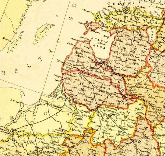
| Keywords: Baltics 1882.JPG Baltica Source Scan from Blackie Sons Atlas Edinburgh 1882 Date 1892 Scale 1 6 100 000 or one inch about 96 miles PD-Art 19th-century maps of Estonia Old maps of Latvia Old maps of Lithuania under Russian and German empires Maps of the Russian Empire in Blackie Sons Atlas 1882 History of the Baltic states Artworks missing infobox template | ||||