MAKE A MEME
View Large Image
| View Original: | Atlas_Van_der_Hagen-KW1049B11_063-DUCATUS_LUTZENBURGI_Novissima_et_accuratissima_DELINEATIO.jpeg (5500x4416) | |||
| Download: | Original | Medium | Small | Thumb |
| Courtesy of: | commons.wikimedia.org | More Like This | ||
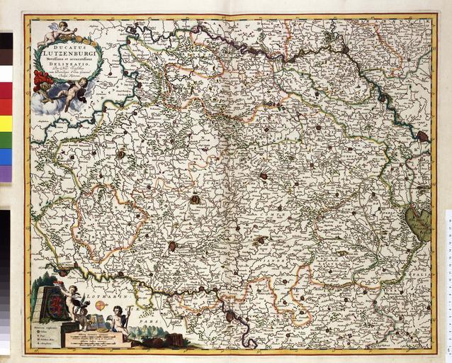
| Keywords: Atlas Van der Hagen-KW1049B11 063-DUCATUS LUTZENBURGI Novissima et accuratissima DELINEATIO.jpeg of the Atlas Van der Hagen in the catalogue of the KB http //opc4 kb nl/DB 1/TTL 1/LNG EN/PPN PPN 353012750 Creator Nicolaes_Visscher_II Author Per Nic Visscher Publisher Creator Nicolaes_Visscher_II Author Per Nic Visscher Publisher Creator Nicolaes_Visscher_II credit line voor 1680 Deze kaart van het hertogdom Luxemburg werd uitgegeven door Nicolaes Visscher I 1618-1679 Als bron voor deze kaart greep Visscher vermoedelijk terug op een kaart van Gerard de Jode 1509-1591 This map of the duchy Luxembourg was published before 1682 by Nicolaes Visscher I 1618-1679 As a source of information for this map Visscher may have used a map by Gerard de Jode 1509-1591 46 x 56 cm exhibition history Institution Koninklijke Bibliotheek kopergravure Technique copper engraving KW1049B11_063 - Volume 1 Gerard de Jode - Nicolaes Visscher II Information field Depicted locations Luxembourg object history object type Kaart Map PD-old-100 place of creation Amsterdam place of discovery Source page at the http //resolver kb nl/resolve urn urn gvn KONB01 182 Geheugen van Nederland / Memory of the Netherlands website Koninklijke Bibliotheek DUCATUS LUTZENBURGI Novissima et accuratissima DELINEATIO Uploaded with GWToolset Atlas Van der Hagen-KW1049B11_063-DUCATUS LUTZENBURGI Novissima et accuratissima DELINEATIO http //resolver kb nl/resolve urn urn gvn KONB01 1049B11_063 size large Atlas van der Hagen | ||||