MAKE A MEME
View Large Image

| View Original: | Administrative map tagged AdobeRGB.svg (350x328) | |||
| Download: | Original | Medium | Small | Thumb |
| Courtesy of: | commons.wikimedia.org | More Like This | ||
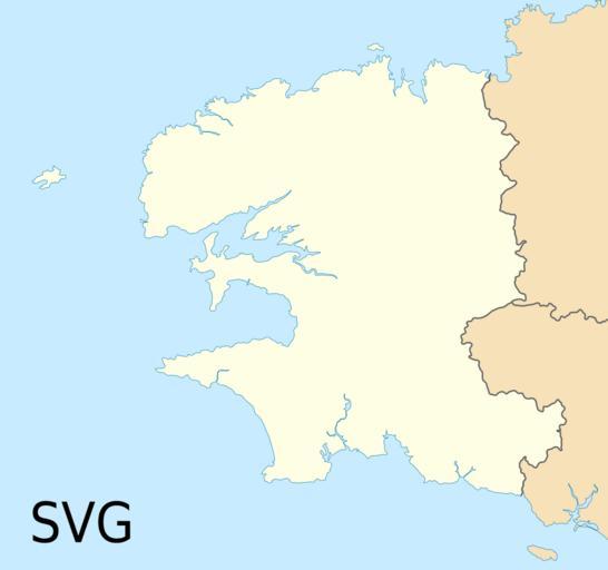
| Keywords: Administrative map tagged AdobeRGB.svg Example of administrative map in vector SVG format with an Adobe RGB 1998 color profile to show the problem of color management in MediaWiki and on the Internet Exemple de carte administrative au format vectoriel SVG avec un profil colorimĂ©trique Adobe RGB 1998 destinĂ© Ă montrer les problèmes de gestion de la couleur par MediaWiki et sur l'Internet Own Source file File Finistere_department_location_map svg modified created by myself 2010-07 Eric Gaba Sting - fr Sting This version public domain The colors of the following 4 files should be identical but the JPEG sRGB one will probably not <gallery> Image Physical_map_tagged_AdobeRGB jpg JPEG “ Adobe RGB 1998 Image Physical_map_tagged_sRGB jpg JPEG “ converted in sRGB Image Physical_map_tagged_AdobeRGB png PNG “ Adobe RGB 1998 Image Physical_map_tagged_sRGB png PNG “ converted in sRGB </gallery> Other example for comparison between vector and raster formats The colors of the following 3 files should be identical but the JPEG sRGB one will probably not <gallery> Image Administrative_map_tagged_AdobeRGB svg SVG “ Adobe RGB 1998 Image Administrative_map_tagged_AdobeRGB jpg JPEG “ Adobe RGB 1998 Image Administrative_map_tagged_sRGB jpg JPEG “ converted in sRGB </gallery> Graphic Tool | ||||