MAKE A MEME
View Large Image
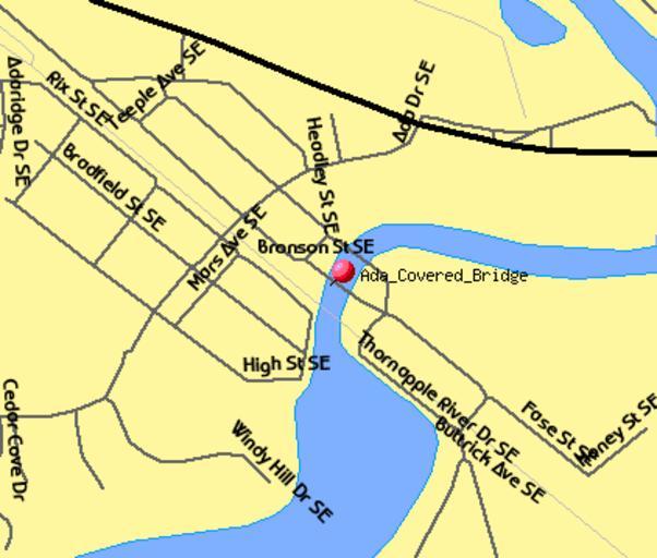
| View Original: | Ada_Covered_Bridge_TIGER_map.png (422x359) | |||
| Download: | Original | Medium | Small | Thumb |
| Courtesy of: | commons.wikimedia.org | More Like This | ||
| Keywords: Ada Covered Bridge TIGER map.png 42 952477 -85 486325 Map of the location of the Ada Covered Bridge in Ada Michigan USGS/USCB TIGER generated map - http //tiger census gov/cgi-bin/mapsurfer infact 2 outfact 2 act move on majroads on railroad on statehwy on street_names on water tlevel - tvar - tmeth i mlat 42 952477 mlon -85 486325 msym redpin mlabel Ada_Covered_Bridge murl lat 42 9526558 lon -85 4862900 wid 0 012 ht 0 012 conf mapnew con link Generated on December 16 2006 Generated by User Lar w en User Lar using US Government provided TIGER tool PD US Government - TIGER is a service of the United States Census Bureau and therefore the image like all TIGER images is in the public domain Contact uploader Ada Michigan Ada Covered Bridge Thornapple River Michigan Maps of Michigan PD-USGov Created by Lar 2000 United States Census TIGER maps Original upload log wikitable - - 2006-12-16 19 44 36 422 × 359 13049 bytes Lar <nowiki> 42 952477 -85 486325 Map of the location of the in Ada w Michigan USGS generated map - </nowiki> | ||||