MAKE A MEME
View Large Image

| View Original: | 1910 Blanchard's map of Chicago and Suburbs.jpg (6552x9944) | |||
| Download: | Original | Medium | Small | Thumb |
| Courtesy of: | commons.wikimedia.org | More Like This | ||
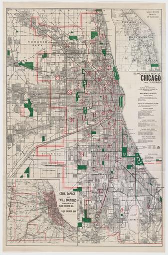
| Keywords: 1910 Blanchard's map of Chicago and Suburbs.jpg Map Blanchard Rufus 1821-1904 creator 1910 http //lms01 harvard edu/F/ func find-b find_code SYS request 007017054 Harvard Map Collection PD-old map date Chicago IL Chicago warp status Rufus Blanchard print date accession number cm 89 59 Shows names of streets drainage roads railroads and other points of interest ward boundaries in red <br><br> Includes insets Lake shore north of Chicago --Cook Dupage and Will counties also parts of Kane County Ill and Lake County Ind other versions 1910 maps Old maps of Chicago Chicago in the 1910s 1910 in Chicago | ||||