MAKE A MEME
View Large Image

| View Original: | 1891_Long_Island_Railroad_Real_Estate_Map_of_Long_Island_-_Geographicus_-_LongIsland-railroadmap-1891.jpg (5000x2539) | |||
| Download: | Original | Medium | Small | Thumb |
| Courtesy of: | commons.wikimedia.org | More Like This | ||
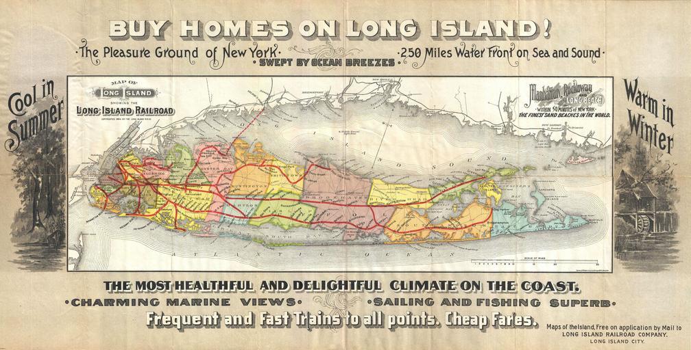
| Keywords: 1891 Long Island Railroad Real Estate Map of Long Island - Geographicus - LongIsland-railroadmap-1891.jpg This highly appealing decorative map of Long Island was issued in 1891 by the Long Island Railroad to promote real estate investment throughout the island Cartographically the map is based upon Colton ôs 1855 Travellers Map of Long Island though it has been updated to 1884 reflecting the development of the rail lines as far as Sag Harbor and Greenport as well as embellished with numerous decorative elements By far this map ôs most interesting feature is its elaborate decorative border work which promotes the beaches climate views fishing and sailing to be hand throughout Long Island The map describes Long Island the Pleasure Ground of New York as Cool in the Summer Warm in the Winter swept by ocean breezes and the most healthful and delightful climate on the coast Colored to show all townships including five in southern Kings County not yet annexed by Brooklyn 1891 dated Size in 27 13 75 object history credit line accession number LongIsland-railroadmap-1891 Geographicus-source PD-art Long Island Rail Road maps Old maps of Long Island Old railroad maps of New York 1891 maps | ||||