MAKE A MEME
View Large Image

| View Original: | 1877_U.S._Coast_Survey_Map_of_Long_Island_and_New_York_City_-_Geographicus_-_LongIsland-uscs-1877.jpg (5000x2939) | |||
| Download: | Original | Medium | Small | Thumb |
| Courtesy of: | commons.wikimedia.org | More Like This | ||
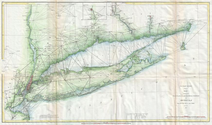
| Keywords: 1877 U.S. Coast Survey Map of Long Island and New York City - Geographicus - LongIsland-uscs-1877.jpg This is an attractive 1877 U S Coast Survey triangulation chart or nautical map of Long Island New York Covers from Staten Island and New York City eastward along Long Island and the coast of Connecticut to Block Island and Point Judith 1877 dated Size in 27 15 5 object history credit line accession number LongIsland-uscs-1877 <i>Report of the Superintendant of the U S Coast Survey </i> 1877 edition Geographicus-source PD-art United States Coast Survey maps Old maps of New York City Old maps of Long Island 1877 maps | ||||