MAKE A MEME
View Large Image

| View Original: | 1864 Blanchard's Guide Map of Chicago.jpg (2224x3000) | |||
| Download: | Original | Medium | Small | Thumb |
| Courtesy of: | commons.wikimedia.org | More Like This | ||
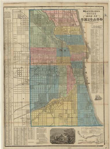
| Keywords: 1864 Blanchard's Guide Map of Chicago.jpg Detached from cover Insets Chicago in 1812; Old Fort Dearborn view Includes street guide location of additions and subdivisions ward limits 1-16; fire districts fire signals and legal hack or cab fares Blanchard Rufus 1821-1904 1864 http //imagesearch library illinois edu/u /maps 2018 PD-old map date 1864 Chicago ca 1 14 700 warp status Blanchard Rufus 1821-1904 print date 1864 University of Illinois at Urbana-Champaign Map and Geography Library accession number cm 91 65 other versions 1864 maps Old maps of Chicago 1864 in Illinois Chicago in the 1860s | ||||