MAKE A MEME
View Large Image

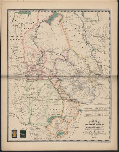
| View Original: | 1860. –ö–į—Ä—ā–į –ó–į–Ņ–į–ī–Ĺ–ĺ–Ļ –°–ł–Ī–ł—Ä–ł.jpg (26750x34000) | |||
| Download: | Original | Medium | Small | Thumb |
| Courtesy of: | commons.wikimedia.org | More Like This | ||
| Keywords: 1860. –ö–į—Ä—ā–į –ó–į–Ņ–į–ī–Ĺ–ĺ–Ļ –°–ł–Ī–ł—Ä–ł.jpg –ü–ĺ–ī— –ĺ–Ī–Ĺ—č–Ļ –ź—ā–Ľ–į—Ā –†–ĺ—Ā—Ā–ł–Ļ—Ā–ļ–ĺ–Ļ –ė–ľ–Ņ–Ķ— –ł–ł https //www flickr com/photos/132527901 N07/sets/72157651488062927/ 1860 not specified PD-RusEmpire Old maps of the Russian Empire 1860 maps 1860 in the Russian Empire | ||||