MAKE A MEME
View Large Image

| View Original: | 1852_Barbie_du_Bocage_Chart_of_the_World's_Rivers_and_Waterfalls_-_Geographicus_-_RiversWatersfalls-bocage-1852.jpg (3000x2239) | |||
| Download: | Original | Medium | Small | Thumb |
| Courtesy of: | commons.wikimedia.org | More Like This | ||
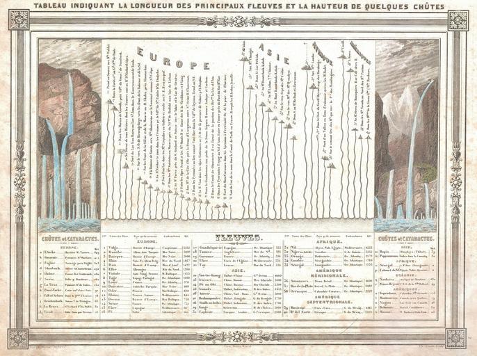
| Keywords: 1852 Barbie du Bocage Chart of the World's Rivers and Waterfalls - Geographicus - RiversWatersfalls-bocage-1852.jpg An uncommon and attractive 1852 chart by J G Barbie du Bocage Shows the relative lengths of the world's great rives and the heights of the world's great waterfalls Divided according to continent Features a beautiful frame style border Prepared by J G Barbie du Bocage for publication as plate no 2 in Maison Basset ôs 1852 edition of the Atlas Illustre 1852 undated Size in 12 5 9 5 object history credit line accession number RiversWatersfalls-bocage-1852 Maison Basset <i>Atlas Illustre</i> 1852 issue Geographicus-source PD-art Jean Guillaume Barbi√© du Bocage River-related diagrams 1852 engravings Diagrams of waterfalls Diagrams in French Geographic comparison diagrams | ||||