MAKE A MEME
View Large Image
| View Original: | 1755_PlymouthMA_detail_of_map_byJohnGreen_BPL_12281.png (1060x748) | |||
| Download: | Original | Medium | Small | Thumb |
| Courtesy of: | commons.wikimedia.org | More Like This | ||
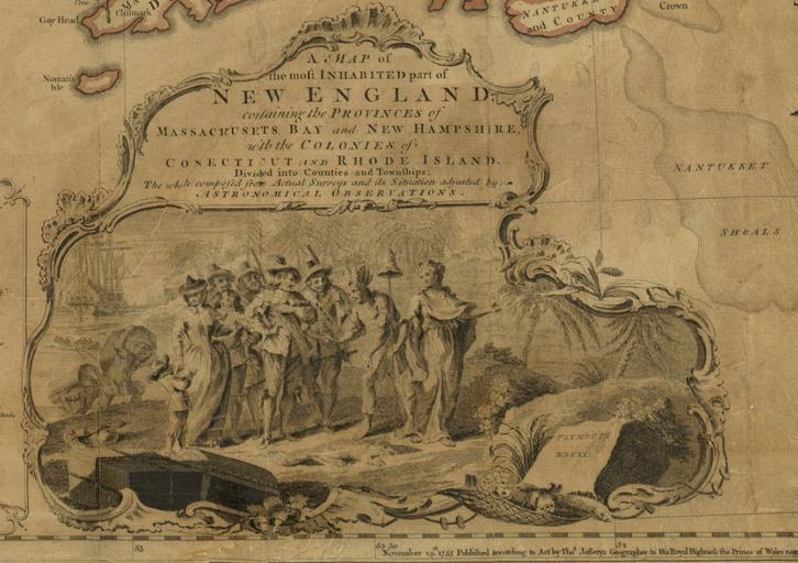
| Keywords: 1755 PlymouthMA detail of map byJohnGreen BPL 12281.png Illustration of Plymouth Massachusetts 1620 Detail from A map of the most inhabited part of New England containing the provinces of Massachusets Bay and New Hampshire with the colonies of Conecticut and Rhode Island Author Green John Publisher Jefferys Thomas Date 1755 Location New England Dimension 102 x 97 cm http //maps bpl org/id/12281 1755 John Green PD-old-100 Maps of Plymouth Massachusetts 1620 in North America | ||||