MAKE A MEME
View Large Image

| View Original: | 1745_Anson_Map_or_Chart_of_Zihuatanejo_Harbor,_Mexico_-_Geographicus_-_Seguataneo-anson-1745.jpg (5000x2776) | |||
| Download: | Original | Medium | Small | Thumb |
| Courtesy of: | commons.wikimedia.org | More Like This | ||
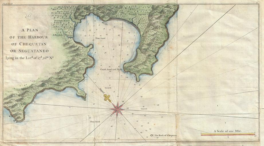
| Keywords: 1745 Anson Map or Chart of Zihuatanejo Harbor, Mexico - Geographicus - Seguataneo-anson-1745.jpg An extremely attractive 1745 map of the Mexican harbor of Zihuatanejo Bay by George Anson Today Zihuatanejo is a stunningly beautiful resort area on the Pacific in the state of Guerrero about 250 km north of Acapulco This area was originally named Cihuatlán in Aztec which means Place of Women referring to the matriarchal society that dominated the region in pre-Columbian times Details the harbor beautifully showing mountains waterways and trees as well as offering detailed depth soundings and nautical references 1745 undated Size in 19 5 11 object history credit line accession number Seguataneo-anson-1745 Anson G <i>Atlas to Anson's Voyage round the world </i> 1745 Geographicus-source PD-Art-100 Old maps of Mexico Zihuatanejo de Azueta 1745 Maps of the Viceroyalty of New Spain Geography of Guerrero 1745 maps Maps in English Maps by George Anson Mexico in the 18th century | ||||