MAKE A MEME
View Large Image

| View Original: | 1719_Carte_de_l'Empire_Othoman_Consideree_dans_les_Etats_de_Cette_Puissance..._a_l'Histoire_d'Alexandre_le_Grand.jpg (9772x4153) | |||
| Download: | Original | Medium | Small | Thumb |
| Courtesy of: | commons.wikimedia.org | More Like This | ||
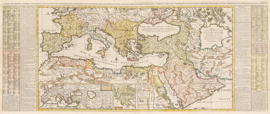
| Keywords: 1719 Carte de l'Empire Othoman Consideree dans les Etats de Cette Puissance... a l'Histoire d'Alexandre le Grand.jpg fr Carte de l'Empire Othoman Consideree dans les Etats de Cette Puissance et des Etats qui L'avoisine ou qui luy sont Tributaries ainsi que deux Petites Cartes pour conduire a l'Histoire universel et a l'Histoire d'Alexandre le Grand dressûˋes sur les instructions les plus nouvelles Dimension 50 2 cm x 120 5 cm s recounting the history of Alexander the Great and the Roman Empire 1719 Atlas Historique ou Nouvelle Introduction ûÀ l'Histoire û la Chronologie û la Geographie Ancienne Moderne le volume V Amsterdam L'Honorûˋ ChûÂtelain 1719 Original from http //www hjbmaps com/products/carte-de-lempire-othoman-consideree-dans-les-etats-de-cette-puissance-a-lhistoire-dalexandre-le-grand-antique-map www hjbmaps com en Henri Abraham Chatelain 1684 - 1743 he was a Huguenot pastor of Parisian origins He lived consecutively in Paris St Martins London c 1710 The Hague c 1721 and Amsterdam c 1728 He is best known as a Dutch cartographer and more specifically for his cartographic contribution in the seminal seven volume Atlas Historique published in Amsterdam between 1705 and 1720 Innovative for its time the maps in the Atlas Historique were mainly based on those of the French cartographer Guillaume De L Isle but were presented by the Chatelains in an encyclopaedic form The maps were accompanied by information pertaining to cosmography geography history chronology genealogy topography heraldry and costume of the world Some scholarship suggests that the Atlas Historique was not exclusively compiled by Henri Chatelain as is commonly believed but rather was a family enterprise involving Henri his father Zacharie and his brother also Zacharie other versions PD-Art-100 Uploaded with UploadWizard Europe in the 18th century Asia in the 18th century Africa in the 18th century | ||||