MAKE A MEME
View Large Image

| View Original: | 1660, Omgeving Scheveningseveer, Den Haag, Cornelis Elandts.jpg (877x877) | |||
| Download: | Original | Medium | Small | Thumb |
| Courtesy of: | commons.wikimedia.org | More Like This | ||
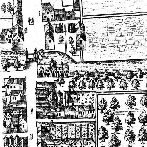
| Keywords: 1660, Omgeving Scheveningseveer, Den Haag, Cornelis Elandts.jpg nl Detail van een kaart die de omgeving van de Scheveningsebrug in Den Haag weergeeft Van boven naar beneden zijn te zien de Zeestraat de Scheveningsebrug met eronder naar rechts strekkend het Scheveningseveer Onder de brug ligt in het verlengde van de Zeestraat het Noordeinde en Detail of a map showing the surroundings of the Scheveningen Bridge in The Hague the Netherlands From the top down are depicted the Zeestraat the Scheveningen Bridge with below it to the right the Scheveningen Veer Below the bridge downward is the Noordeinde 1660 Institution Rijksmuseum Object number RP-P-AO-12-9-12 Cornelis Elandts other versions 52 08390 4 30401 cc-zero Uploaded with UploadWizard Old maps of The Hague Bridge GW 39 Scheveningsebrug Scheveningseveer The Hague Zeestraat The Hague Noordeinde The Hague The Hague in the 1660s Cornelis Elandt | ||||