MAKE A MEME
View Large Image

| View Original: | 09968jfRoads Baliuag fields Floods Control Paligui Candaba Pampangafvf 22.JPG (4608x3456) | |||
| Download: | Original | Medium | Small | Thumb |
| Courtesy of: | commons.wikimedia.org | More Like This | ||
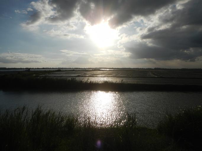
| Keywords: 09968jfRoads Baliuag fields Floods Control Paligui Candaba Pampangafvf 22.JPG Barangay http //wikimapia org/6130170/tl/Paligui Paligui Candaba Pampanga Pampanga province Barangay Hall Chapel and Paligui Elementary School at the foot of Mount Arayat Pampanga beside the Candaba Bird Watching Sanctuary of Migratory Birds Scenery Landscape of Upgrading concreting of the Baliuag Bulacan-Candaba Pampanga Road Barangay Paligui Candaba section with Irrigation dikes and creeks Slope Protection of the Flood Control under Cong Anna York Bondoc surrounded by Paddy fields with hovering Migratory Birds including Great Egrets or Tagak and Domesticated ducks feasting on snails and small fishes upon rice fields and rice plowing farming and fish ponds industry of Candaba serviced by Irrigation in Pampanga from KM 66 16 Km to Baliuag Bulacan and on the opposite side is the gateway to Barangay San Agustin and Paralaya Candaba Pampanga Ž Town Proper; accessed from and along Barangays Tangos and Bagong Nayon Baliuag Bulacan Bulacan Flyover at the Maharlika Highway Cagayan Valley Road Baliuag-Pulilan-Guiguinto Bulacan part of the Pan-Philippine Highway also known as the Maharlika Nobility/freeman Highway Cagayan Valley Road 2016-01-09 16 30 00 own Judgefloro other versions Paligui Candaba Pampanga | ||||