MAKE A MEME
View Large Image
| View Original: | 09822jfPaddy fields Slips Slope Paralaya Magumbali Roads Candaba Pampangafvf 18.jpg (4608x3456) | |||
| Download: | Original | Medium | Small | Thumb |
| Courtesy of: | commons.wikimedia.org | More Like This | ||
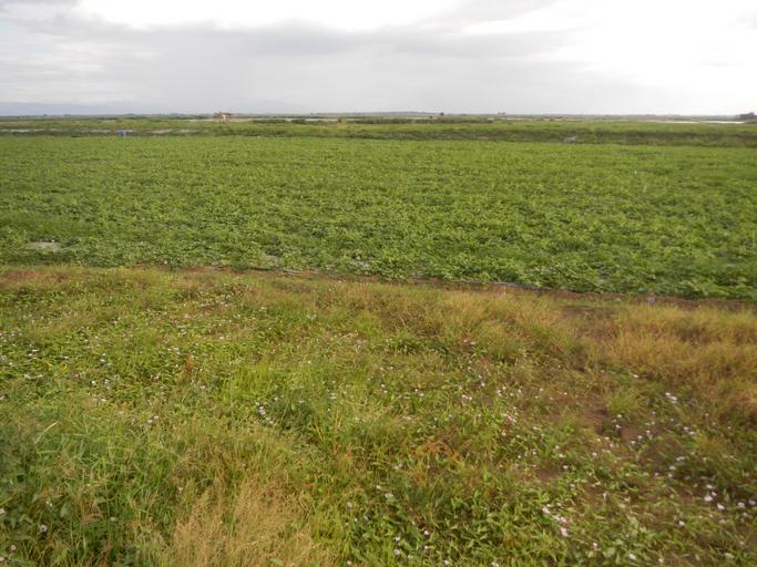
| Keywords: 09822jfPaddy fields Slips Slope Paralaya Magumbali Roads Candaba Pampangafvf 18.jpg Barangays http //wikimapia org/street/17654004/Salapungan-Candaba-Pampanga Salapungan 15°8'8 N 120°55'57 E http //wikimapia org/30117461/Magumbali Magumbali 15°8'30 N 120°53'11 E http //wikimapia org/19702814/Paralaya Paralaya Poblacion 15°7'3 N 120°50'51 E Candaba Pampanga accessed along and from the Maharlika Highway Cagayan Valley Road San Miguel Bulacan section of the Pan-Philippine Highway also known as the Maharlika Nobility/freeman Highway or Asian Highway 26 Cagayan Valley Road Note Judge Florentino Floro the owner to repeat Donor Florentino Floro of all these photos hereby donate gratuitously freely and unconditionally all these photos to and for Wikimedia Commons exclusively for public use of the public domain and again without any condition whatsoever 2016-12-10 15 31 27 own Judgefloro other versions 15 1175 120 8475 heading 78 67 http //wikimapia org/19702814/Paralaya Paralaya Poblacion 15°7'3 N 120°50'51 E cc-zero Paralaya Poblacion Candaba Pampanga | ||||