MAKE A MEME
View Large Image

| View Original: | 0525jfMacArthur Highway Malolos Guiguinto Bulacan sectionfvf 21.jpg (4608x3456) | |||
| Download: | Original | Medium | Small | Thumb |
| Courtesy of: | commons.wikimedia.org | More Like This | ||
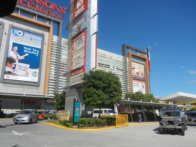
| Keywords: 0525jfMacArthur Highway Malolos Guiguinto Bulacan sectionfvf 21.jpg MacArthur Highway or Manila North Road MacArthur Highway Malolos City section Ž in Barangays http //wikimapia org/13352510/tl/Tikay Tikay 14°50'45 N 120°51'16 E http //wikimapia org/street/17807339/40-McArthur-highway-Dakila-Malolos-City Dakila http //wikimapia org/11577541/Brgy-Guinhawa Barangays Guinhawa Catmon 14°50'59 N 120°49'29 E http //wikimapia org/9911971/Bulihan Bulihan 14°51'32 N 120°48'11 E Road reblocking and reconstructions in Malolos City Bulacan upon Paseo del Congreso of Malolos Historic Town Center and Malolos Heritage Town Kamestisuhan District Heritage District and along the Bigaa-Plaridel via Bulacan and Malolos City Bulacan Road Ž interconnecting into and from the Malolos Flyover and Malolos City overpass bridge Ž at and from Barangays http //wikimapia org/street/17187327/ilang-ilang-Guiguinto-Bulacan Ilang-Ilang 14°49'51 N 120°52'16 E http //wikimapia org/33543454/Santa-Cruz Santa Cruz 14°50'32 N 120°52'3 E http //wikimapia org/street/16287196/Tabang-Guiguinto-Bulacan Tabang 14°49'44 N 120°51'50 E Guiguinto Bulacan Bulacan province accessed from Cagayan Valley Road Baliuag-Pulilan-Guiguinto Bulacan Pan-Philippine Highway also known as the Maharlika Nobility/freeman Highway; Note Judge Florentino Floro the owner to repeat Donor Florentino Floro of all these photos hereby donate gratuitously freely and unconditionally all these photos to and for Wikimedia Commons exclusively for public use of the public domain and again without any condition whatsoever 2016-10-31 13 39 12 own Judgefloro other versions 14 849722 120 824722 heading 35 77 http //wikimapia org/11577541/Brgy-Guinhawa Guinhawa Catmon 14°50'59 N 120°49'29 E cc-zero Robinsons Place Malolos | ||||