MAKE A MEME
View Large Image

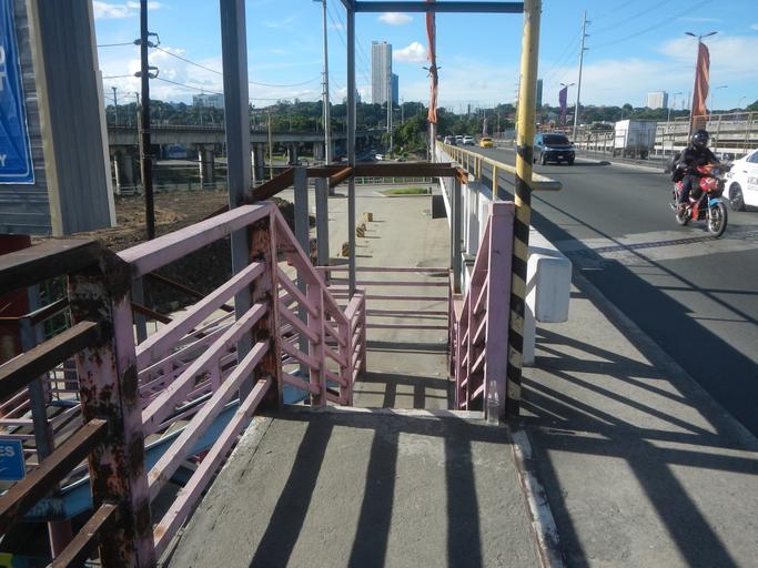
| View Original: | 0001jfFootbridge Marcos Highway Bridge Highway Marikina Cityfvf 06.jpg (4608x3456) | |||
| Download: | Original | Medium | Small | Thumb |
| Courtesy of: | commons.wikimedia.org | More Like This | ||
| Keywords: 0001jfFootbridge Marcos Highway Bridge Highway Marikina Cityfvf 06.jpg Marikina River Upper Marikina River Basin Protected Landscape List of landmarks and attractions of Marikina Marikina River Park under the Marikina River Park Authority 1993 system of parks trails open spaces and recreation facilities along an 11-kilometre 6 8 mi stretch of the Marikina River along SM City Marikina Riverbanks Center part of Radial Road-6 in the List of barangays of Metro Manila Barangays of Marikina http //marikina gov ph/ /barangays City Barangays Calumpang Marikina http //wikimapia org/12483393/San-Roque San Roque 14°37'31 N 121°5'57 E http //wikimapia org/12483461/Santa-Elena Santa Elena 14°37'55 N 121°5'58 E http //wikimapia org/14355668/Santo-Ni C3 B1o Santo Niño 14°38'20 N 121°6'3 E http //wikimapia org/12483555/Jes C3 BAs-de-la-Pe C3 B1a Jesus Dela Peña14°38'0 N 121°5'27 E Marikina City along J P Rizal Street Marikina City Munding Avenue V Gomez Street Shoe Avenue http //wikimapia org/street/66782/A-Bonifacio-Avenue A Bonifacio Avenue 14°38'1 N 121°5'7 E Andres Bonifacio Avenue corner Sumulong Highway connected by http //wikimapia org/1176832/Marikina-Bridge Marikina Bridge 14°38'9 N 121°5'35 E Load Limit 20 metric tons K0014+970 K0014+942 K0014+842 I Love Marikina City Welcome Arch Santo Nino - Jesus de la Pena Markikina River A Bonifacio Avenue Note Judge Florentino Floro the owner to repeat Donor Florentino Floro of all these photos hereby donate gratuitously freely and unconditionally all these photos to and for Wikimedia Commons exclusively for public use of the public domain and again without any condition whatsoever 2016-11-20 14 45 38 own Judgefloro other versions 14 625 121 089444 heading 358 35 http //wikimapia org/12456440/Calumpang Calumpang 14°37'30 N 121°5'22 E cc-zero SM City Marikina Footbridge - Marcos Bridge - BFCT East Metro Transport Terminal - Marcos Highway | ||||